Current news
December
2022
+++ We hereby inform you that we are discontinuing our business operations of geodata acquisition and processing. This ends an era that began in 1966 with the foundation and has been continued as a family-driven company up to now. We would like to thank all customers and business partners for the long time together! +++
September
2022
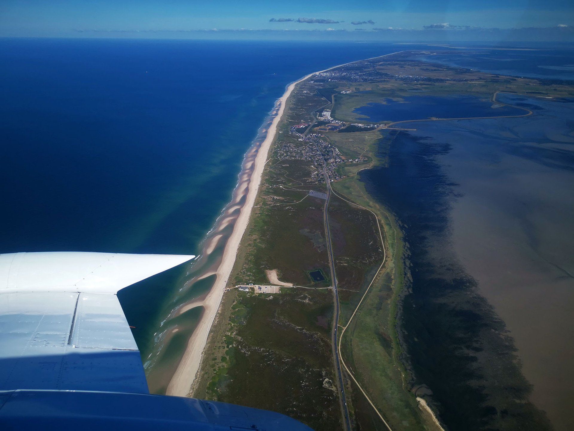
+++ Island Sylt at low tide. Coastal protection with laser and camera sensors. Including such a beautiful view for free! +++
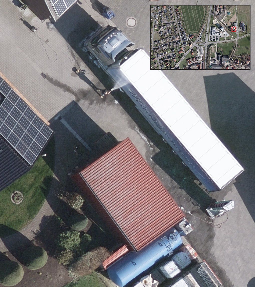
August
2022
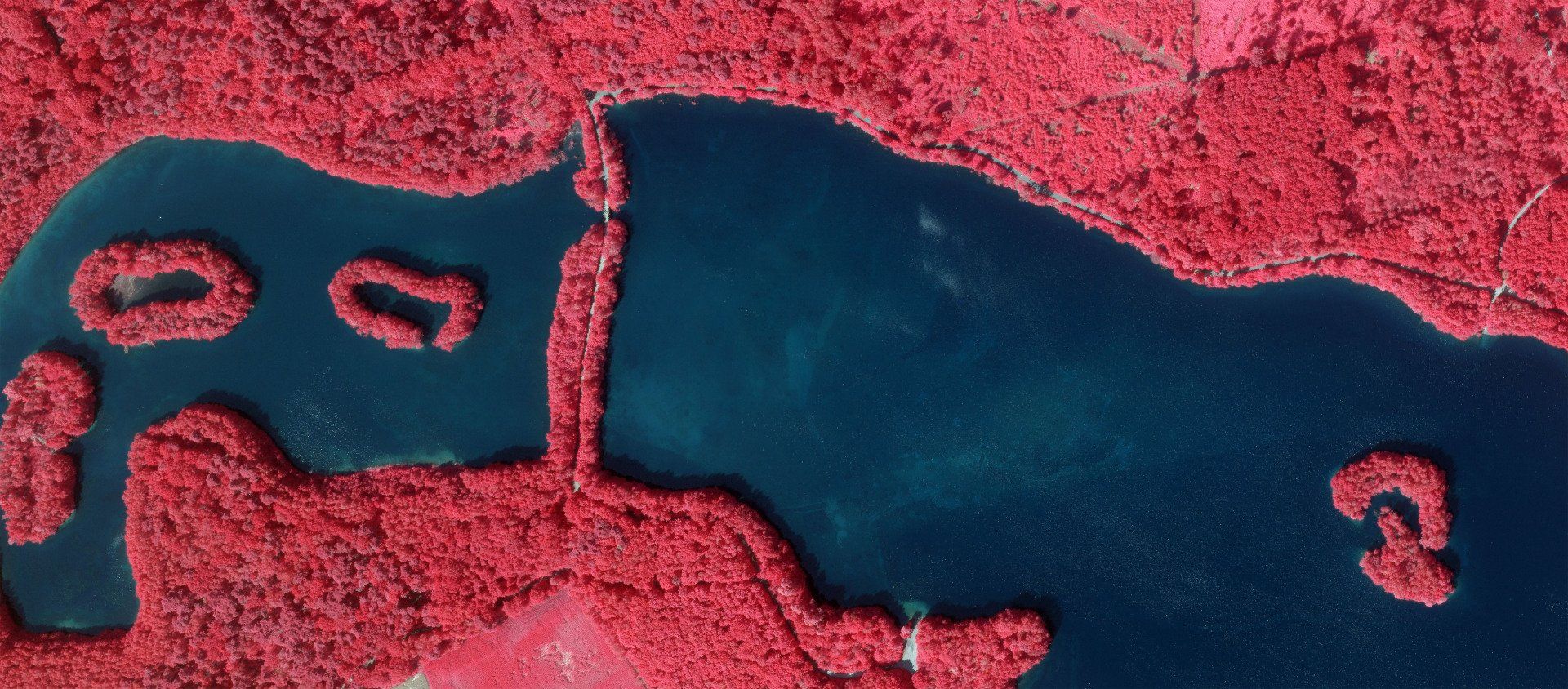
+++ CIR summer image flight for forestry investigation of tree vitality +++
June
2022
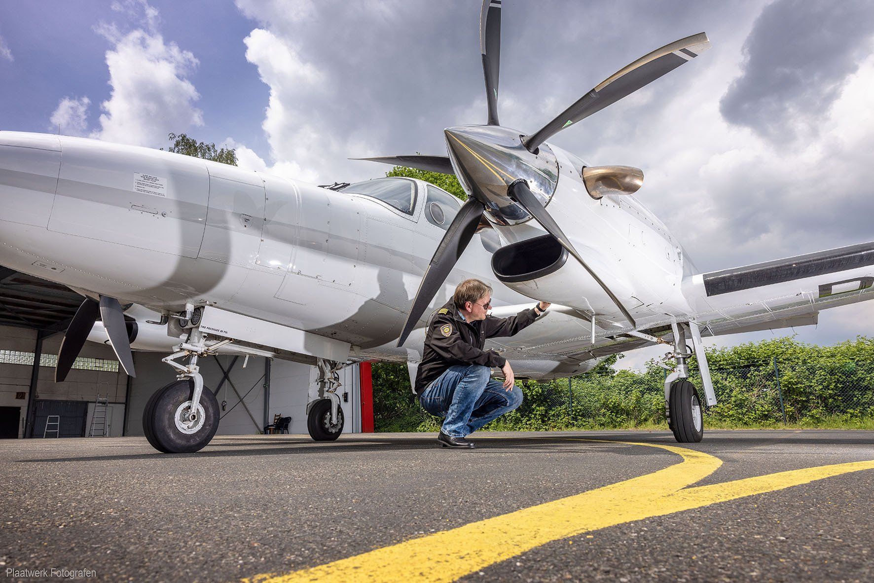
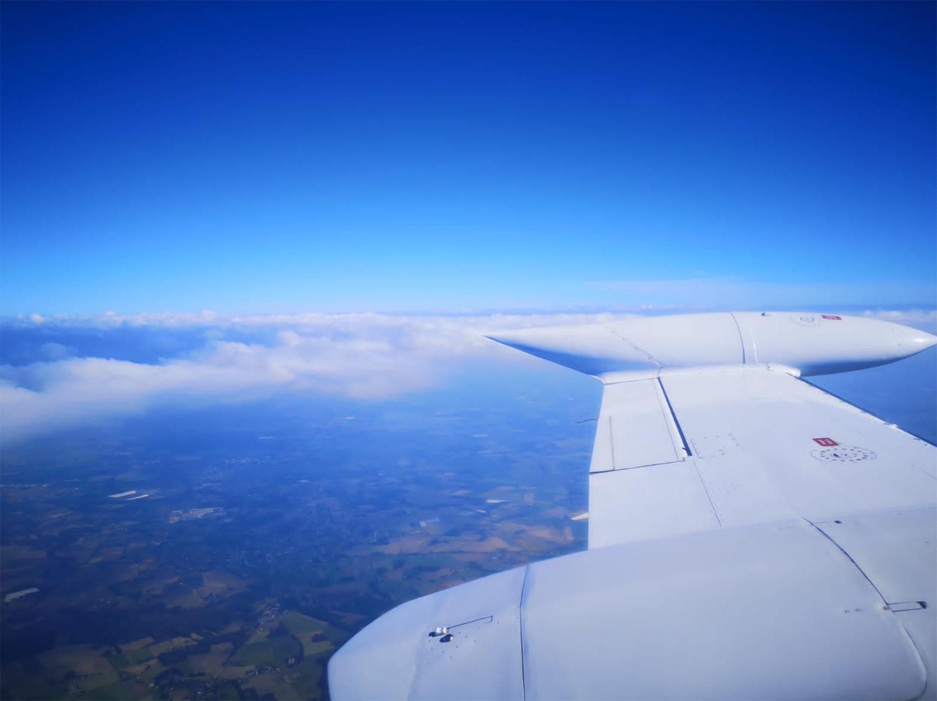
+++ Checking the aircraft before takeoff +++
March
2022
+++ Precision not only during aerial survey, but also during refuelling. Close, but not too close! +++
Christmas 2021
+++ Merry Christmas and a Happy New Year +++
December
2021
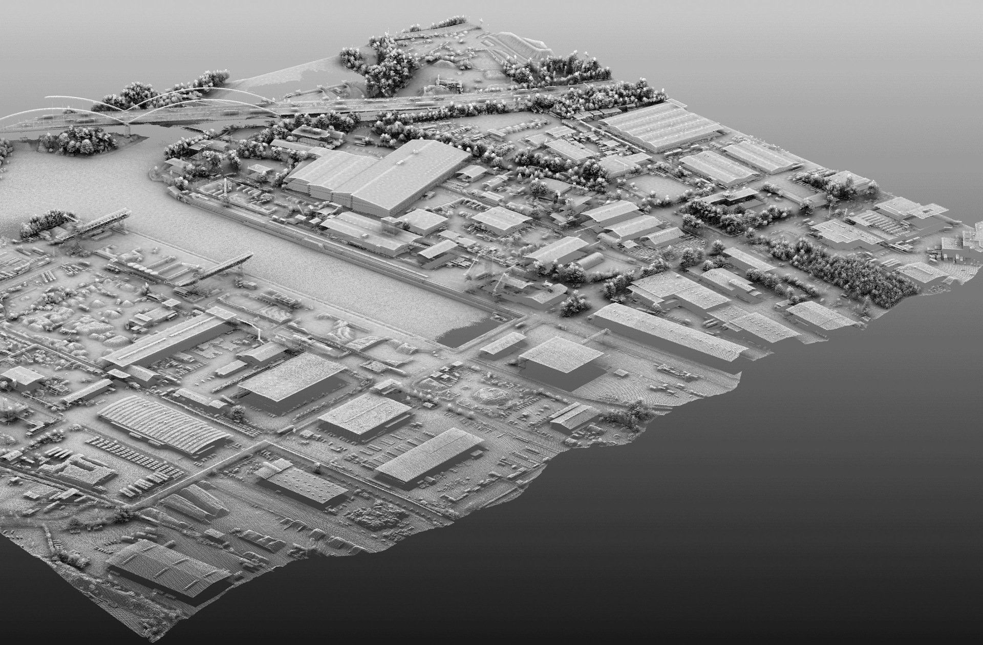
+++ Airborne Laserscanning +++
August 2021
+++ Flooding 2021 +++
May 2021
+++ Simultaneous flights +++
Since 2015 we have been carrying out simultaneous flights with image and laser sensors every year. The large-format UltraCam camera is combined with a Riegl ALS 780. Both systems are permanently installed in our Cessna. The complex installation of image, ALS and GPS/INS sensors is therefore less error-prone and reliable.
The image resolutions of only 3 cm GSD in RGB and CIR as well as the high point densities of the ALS are always impressive and show the enormous information potential of the geodata we collect.
April 2021
+++ Size matters +++
And we always thought our Piper Cheyenne IIXL is a big airplane! Stopover in Leipzig-Halle with the Antonov AN-124 Ruslan meeting on the apron.
Christmas greetings
+++ Covid company holidays +++
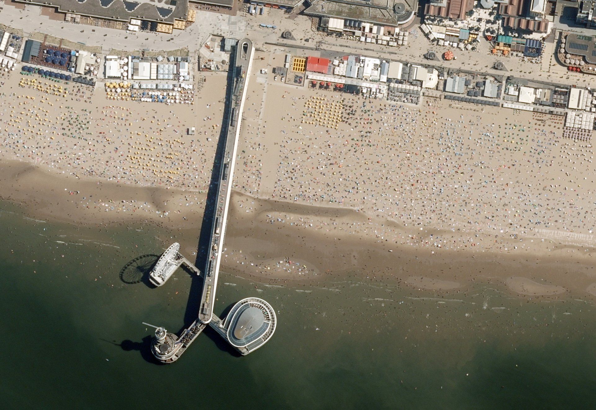
September 2020+++ Overcrowding during corona pandemic +++
The corona pandemic and associated travel restrictions are causing a run on the local beaches. The picture, taken on a hot afternoon in August, shows the Pier in Scheveningen at the North Sea. Although it was recorded from an altitude of 6,300 m with a ground pixel resolution of only 25 cm, crowds of people looking for relaxation in and around the water are clearly visible.
August
2020
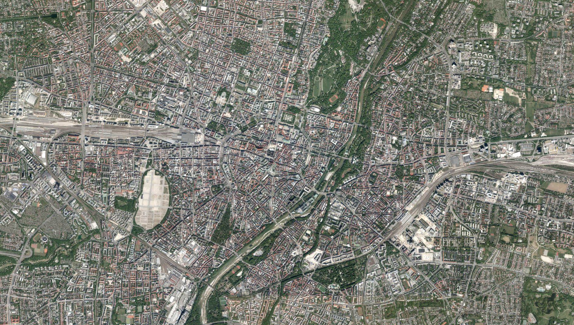
+++ City of Münster dated May 2020 +++
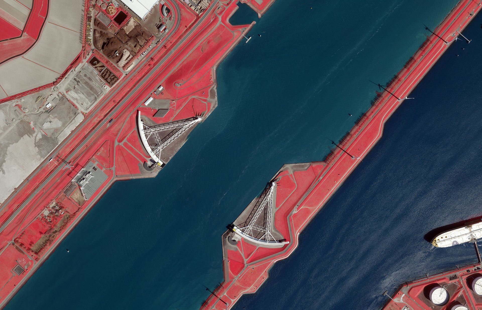
July 2020+++ Storm surge barrier +++
Flood protection for more than1 million people in the greater Rotterdam area, shown here as a color infrared image.
June 2020+++ How much you can capture within half a day... +++
...if weather is good, permits are there and aircraft is fast! Nice cross-border flying Germany, The Netherlands and Belgium this afternoon.
June
2020
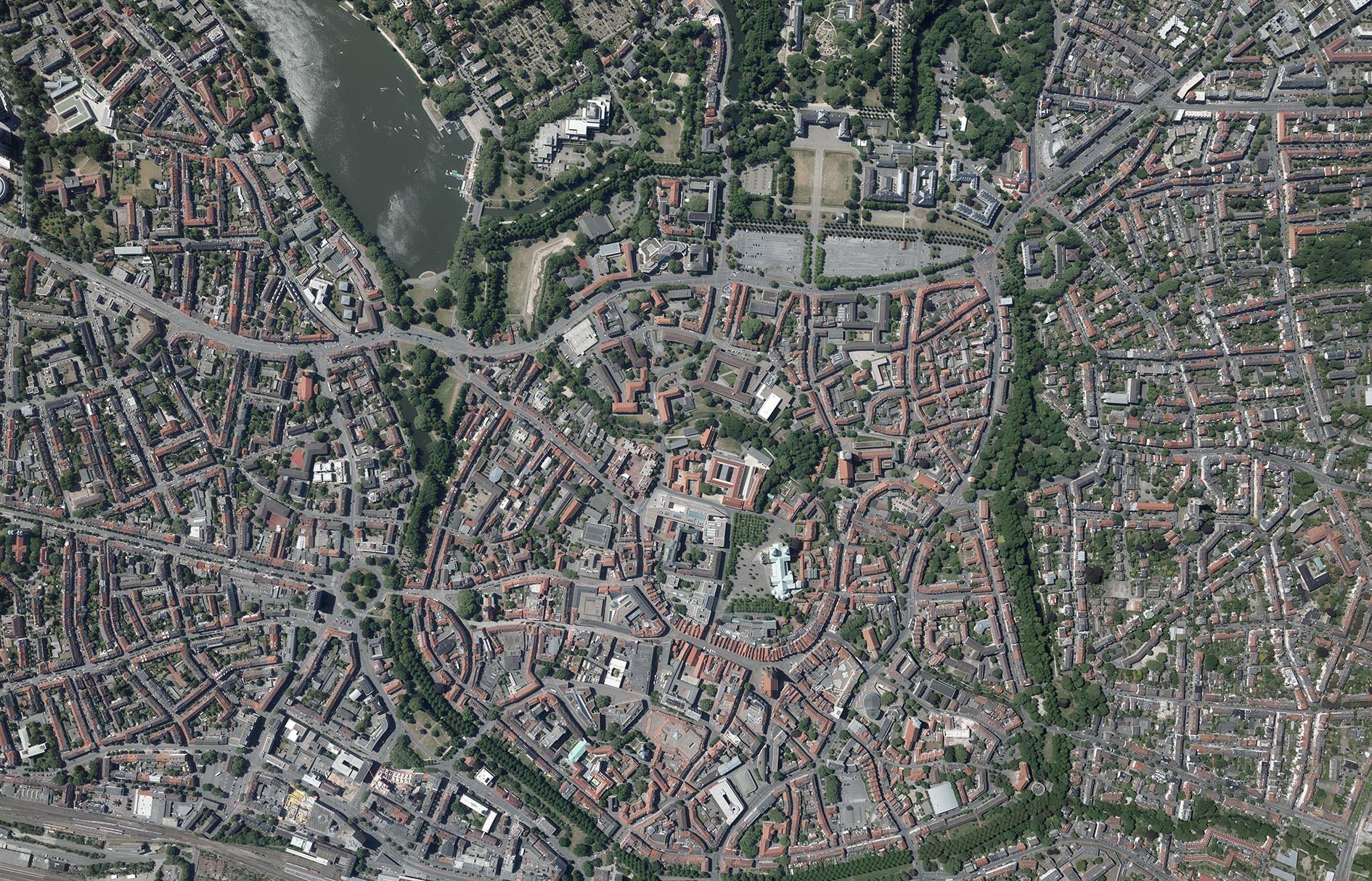
+++ Munich dated April 2020 +++
May
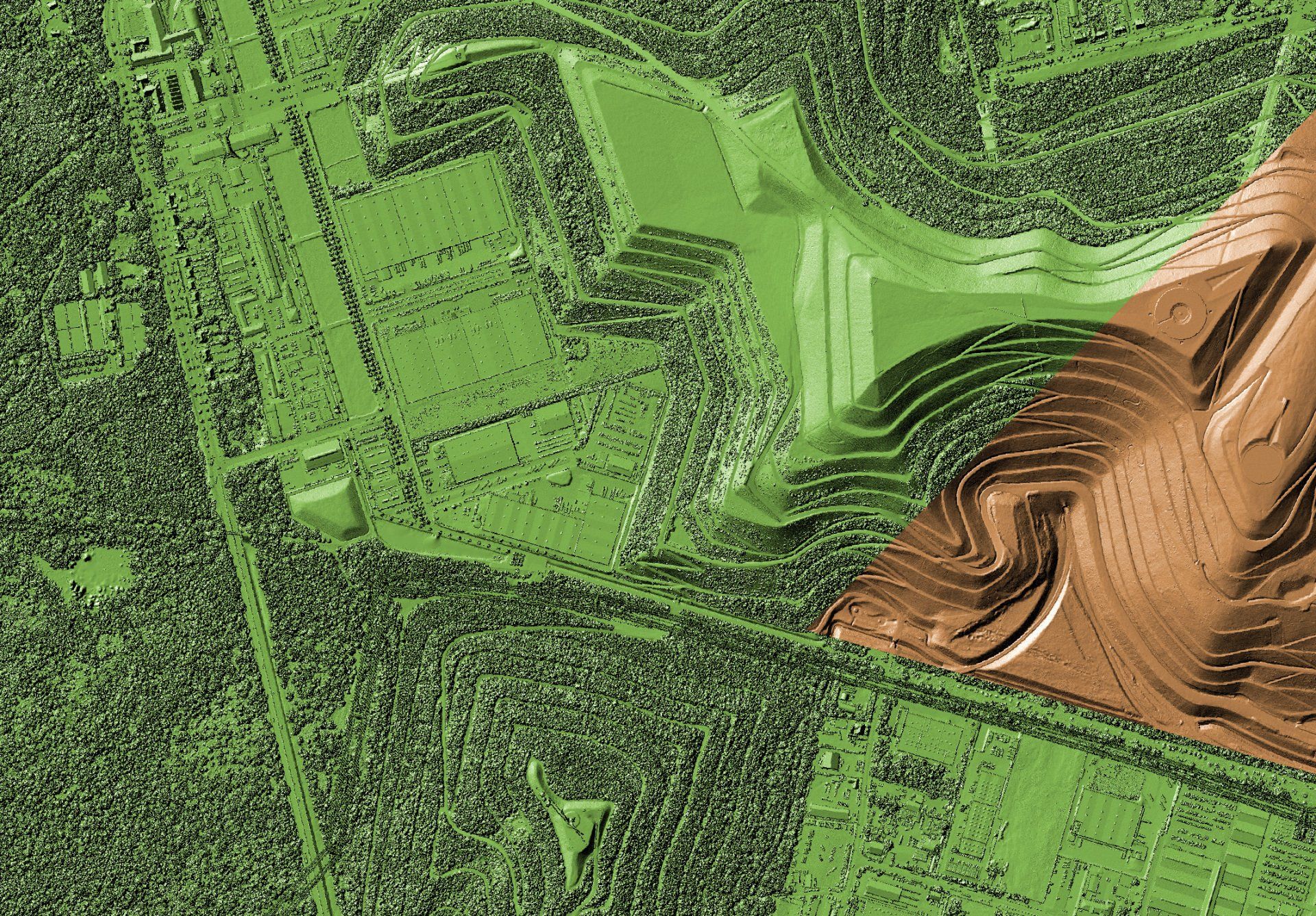
2020
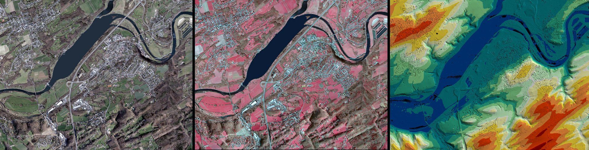
+++ DSM versus DTM +++
The coolest mountain bike trails can be found in our hometown, but are usually hidden under trees from bird's-eyes view. We still find them with laser scanning! Can you see them too? Digital surface model versus digital terrain model:
April
2020
+++ COVID-19 +++
The timing of the corona crisis and main flight season has presented us with enormous challenges in recent weeks. Contact restrictions, closed airports, delays in suppliers or restrictions in maintenance operations have pushed flight operations to their limits. The nice weather, especially the last weeks, has given even more pressure and stress. I would like to take this opportunity to thank the flying crews who have no home office opportunities and instead have made a great deal of commitment to ensure that image and laser data were recorded on time despite the corona crisis. Thank you!
We are still struggling with the effects of the crisis described above. In addition, due to health-related corona safety actions, we are currently unable to maintain full production efficiencies. We therefore ask for your understanding that due to the current crisis and its effects, there may be delays in delivery and service. We strive to keep delays as low as possible as part of the legally prescribed and health-related actions. Stay healthy!
March
2020
+++ ALS intensity image +++
The depictive representation of the reflectance of laser pulses is similar to b/w aerial imagery and is a method of recognizing and extracting features from LIDAR point clouds. In this case impressively illustrated during an airport survey dated February 2020.
February
2020
+++ Pure white beauty +++
January
2020
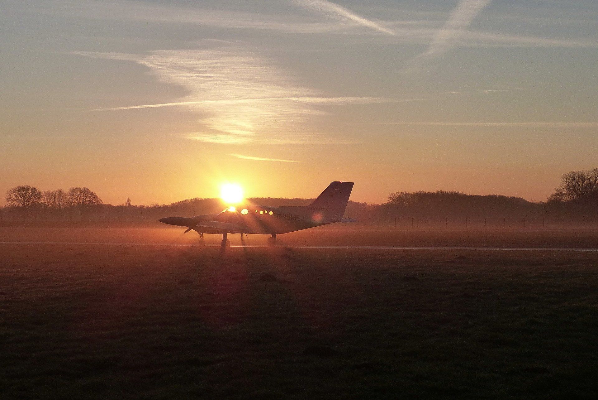
+++ Early morning +++
Dezember 2019
+++ Slow aircraft versus fast aircraft +++
November 2019
+++ Big Data +++
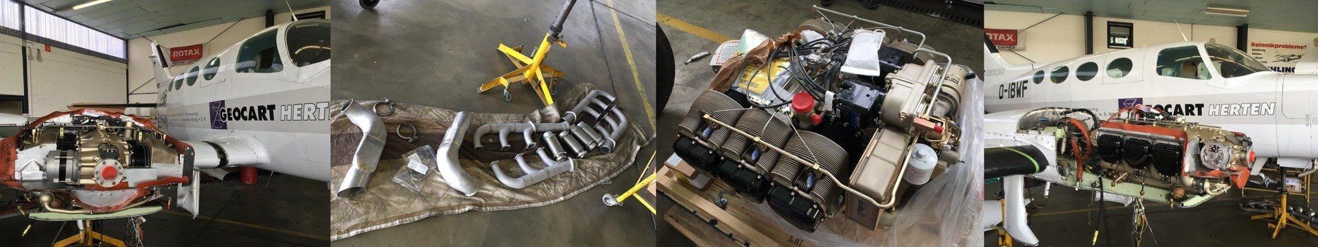
October 2019
+++ New power! +++
From time to time it is necessary: new engines for our Cessna. After the technical operating period had expired, we replaced the engines of our Cessna 402 punctually after the flying season and in good time before the start of the new laser season. Two brand new engines, turbos, exhaust systems and many detail improvements ensure new thrust and reliable flight operations.
August 2019
+++ 56,000 sq km summer flight completed with maximum efficiency +++
August 2019
+++ Conference on Mining, Energy and Raw Materials 2019 +++
July 2019
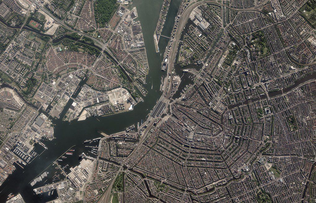
+++ Efficient acquisition with 25 cm ground resolution +++
In contrast to the ground resolutions with 2 cm, here is an example of the enormous imaging dimension of the UltraCamEAGLE M3: Large parts of Amsterdam recorded within just a single image! With the main train station in the central areaof the image, the picture looks great. The ground resolution is 25 cm at an altitude of over 6,000 meters and a speed of 450 km/h. An area of approximately 6.6 km across and approximately 4.2 km along the flight direction is covered.
March 2019
+++ UltraCamEAGLE M3 with less than 2 cm ground resolution +++
In spring 2019 we were able to push the performance of our systems to the limit. With the UltraCamEAGLE M3 we have flown ground resolutions of less than 2 cm. The whole thing despite stereo overlap with the fast Piper Cheyenne IIXL and thus without the otherwise indispensable "creep speed" of a slow aircraft. The advantages: fast execution speed with low shadow migration and homogeneous radiometry, less noise pollution for the population and less load for air traffic control in increasingly complex air spaces. Our 5-blade propellers make an active contribution to environmental protection at the low altitude. Always impressive: the enormous resolution of the aerial photos without blurring or smearing effects through active motion compensation and despite long exposure times.